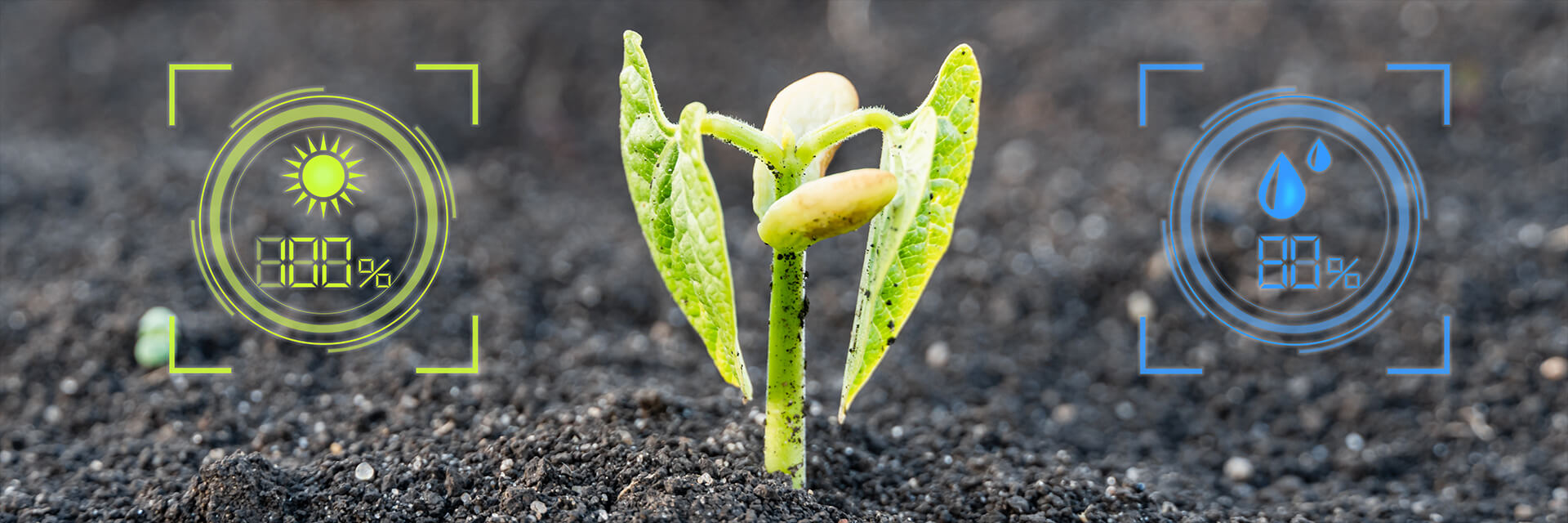
As a way to prove the environmental restoration and conservation in rural properties, with our team of analysts, we have developed proprietary technology in monitoring systems, through MRV (Monitoring, Reporting and Verification)* routines, with the use of ESRI’s geoprocessing system – the global leading company in geographic information, field data collection and processing systems.
At each project, we make an initial audit, based on ISO 19011:2018 (Audit of management systems), and we elaborate monitoring strategy that allows to follow-up with transparence and traceability.
Our clients may follow remotely the progress of their processes through our website (Clients Area). At each period, an audit report is issued for the MRV indicators and, at the end, a “Compliance” score evaluation is made, and a Step Down or a Step Up may be applied in the PES conditions.
*MRV is the acronym for Monitoring, Reporting and Verification of REDD+ results, defined in the scope of the United Nations Framework Convention on Climate Change (UNFCCC).
**REDD+ is the acronym for Reducing Emissions from Deforestation and Forest Degradation. It is an incentive developed in the scope of UNFCCC to financially compensate developing countries for their results of reduction in greenhouse gases emissions.